
With the rapid expansion of the photovoltaic industry, the installation and maintenance of solar panels have become critical tasks. Traditional inspection methods rely heavily on manual counting of solar panels from UAV-captured images, which is inefficient and prone to errors. In my work, I have developed an automated system that integrates computer vision recognition models with UAV platforms to achieve real-time, accurate detection and counting of solar panels. This system significantly reduces human intervention and enables rapid coverage of large-scale solar arrays, providing a scientific basis for long-term management and optimization of photovoltaic power stations.
The core of my approach lies in leveraging deep learning techniques, particularly convolutional neural networks, to automatically identify solar panels in aerial images. By combining this with robust hardware and software architectures, I have created a complete solution that addresses the limitations of manual inspection. In the following sections, I will detail the research background, overall system design, and key functional modules of this UAV-based solar panels monitoring system.
To ensure a comprehensive understanding, I have structured this article into several parts: (1) research background, (2) overall project architecture, (3) detailed functional design covering frontend, backend, database, architecture, service proxy, client program, server program, and the solar panel recognition method based on YOLOv8 with attention mechanisms, and (4) conclusion. Throughout the article, I will use tables and formulas to summarize key aspects and highlight the technical innovations.
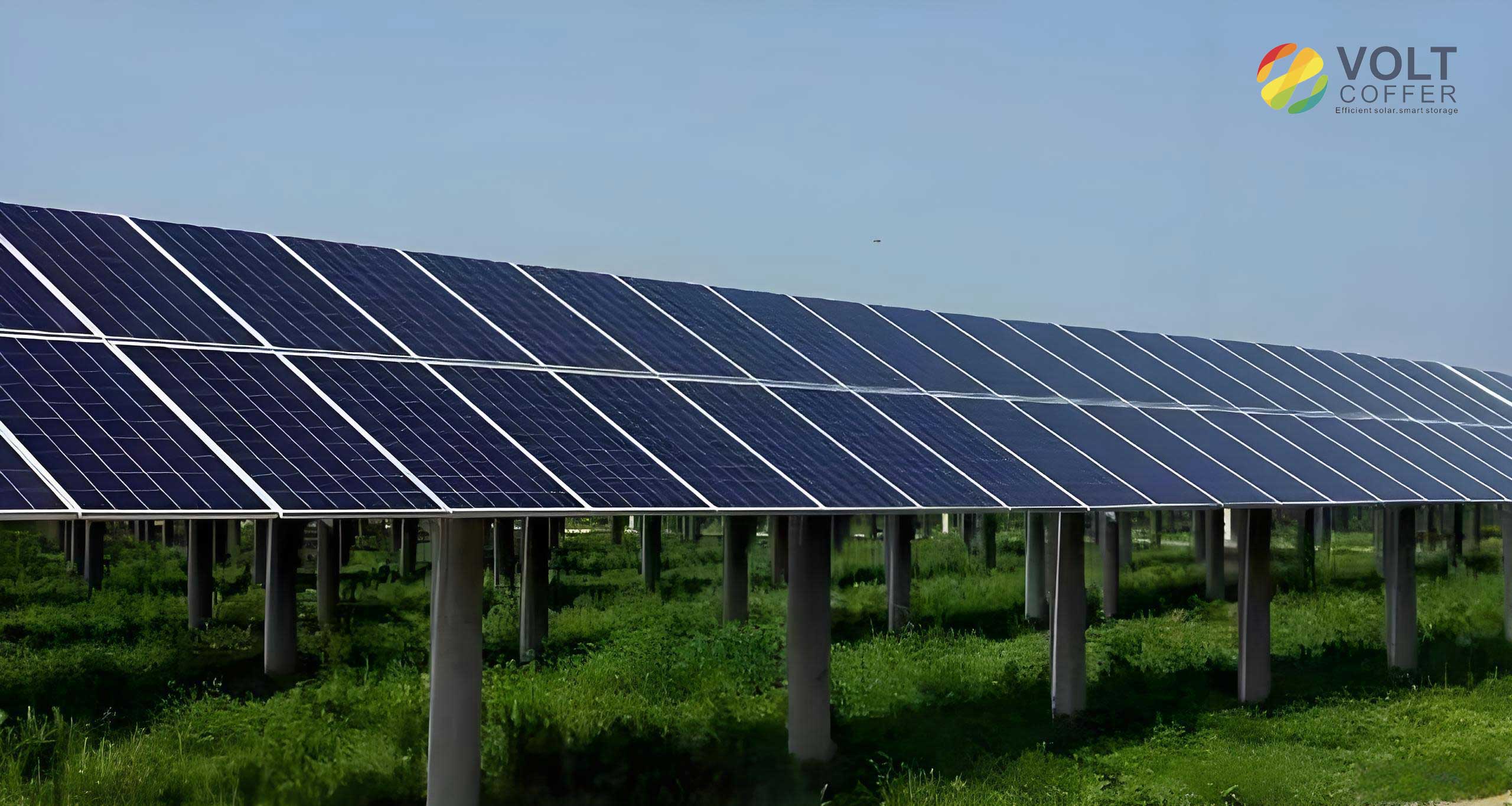
1. Research Background
Image recognition technology, also known as computer vision, enables computers to analyze and understand images to automatically identify and classify objects. In the context of solar panels, traditional manual counting after UAV photography suffers from low efficiency and high error rates due to human factors. With the maturation of deep learning algorithms, I have combined UAVs with advanced visual recognition models to automate the inspection of solar panels. This approach not only reduces labor costs and safety risks but also collects vast amounts of data for scientific analysis.
Table 1 summarizes the comparison between traditional manual inspection and the proposed automated system for solar panel counting.
| Feature | Traditional Manual Inspection | Proposed Automated System |
|---|---|---|
| Method | Human counting from UAV photos | Real-time computer vision recognition |
| Efficiency | Low, time-consuming | High, rapid coverage |
| Accuracy | Prone to omission and misjudgment | High, with < 2% error rate |
| Labor Requirement | High, multiple personnel | Minimal, one operator |
| Data Collection | Limited, manual records | Rich, automated logging |
2. Overall Project Architecture
My system employs advanced hardware and software technologies to achieve intelligent monitoring of solar panels in a safe and efficient manner. The hardware layer consists of a DJI UAV and remote controller, leveraging their excellent flight stability and precise control. Through remote operation, the UAV captures aerial images of solar panels, which are then transmitted via a secure wireless network to the backend for analysis. The software layer adopts a “frontend-backend separation” design pattern to enhance maintainability and scalability. The frontend is implemented as a native Android application, providing an intuitive interface and real-time monitoring view. The backend is built on a monolithic Django architecture, ensuring centralized management and efficient response. All data is encrypted during transmission to prevent information leakage.
Table 2 lists the key components of the system architecture.
| Layer | Component | Description |
|---|---|---|
| Hardware | DJI UAV & Remote Controller | Provides flight stability and high-resolution image capture |
| Communication | Wireless Network (Wi-Fi/4G) | Secure transmission of images and control commands |
| Frontend | Native Android App (Android SDK + DJI SDK) | User interface for flight control, image capture, and result display |
| Backend | Django Framework (Monolithic) | RESTful API, image recognition, data management |
| Database | MySQL | Secure storage of recognition results and metadata |
| Service Proxy | Nginx | Load balancing and reverse proxy for high-concurrency image processing |
3. Functional Design and Development
3.1 Frontend Design
The frontend is built on Android SDK and DJI SDK, delivering a native application that integrates platform-specific features with UAV technology. The dynamic view construction mechanism in the native environment provides unparalleled advantages for real-time data analysis. The system captures and analyzes data instantly, displaying recognition progress and results on the interface. This empowers users with timely decision-making information, significantly improving efficiency and intuitiveness.
The main interface includes a split navigation menu, a full-screen UAV video feed, and a capture button. The left side of the navigation menu shows UAV and remote control status (battery, signal strength, GPS, flight restrictions), while the right side provides a history button. The capture button is placed vertically in the center of the right side of the full-screen video. The primary functions of the client are flight control, photo capture and recognition, and historical record management.
3.2 Backend Design
The backend is a monolithic service built with the Django framework. It manages data and provides services to other applications through simple, stateless, and uniform RESTful APIs. These APIs follow the HTTP protocol, facilitating frontend-backend separation and third-party integration. I use OpenAPI specifications to define interfaces, enhancing discoverability, reusability, and automation. Object-Relational Mapping (ORM) technology is employed to handle data, automatically escaping malicious code to enhance security.
3.3 Database Design
I selected MySQL as the core database due to its excellent performance, high security, and broad platform compatibility. In the context of UAV-based solar panel recognition, MySQL ensures swift retrieval and insertion of recognition data, accelerating system response. Users can quickly view results and export data analysis, greatly improving work efficiency. The strict security mechanisms built into MySQL effectively mitigate potential data leakage risks, reinforcing the overall security posture.
3.4 Architecture Design
The system adopts a “frontend-backend separation” architecture, where each part focuses on its own functionality. This design greatly increases system fluidity and allows the client to respond quickly to user interactions, enhancing user experience. For this system, the separation enables flexible updates: improvements to backend recognition algorithms do not require client redeployment, ensuring users always have a superior experience.
Table 3 summarizes the advantages of the frontend-backend separation architecture.
| Aspect | Description |
|---|---|
| Maintainability | Independent updates to frontend or backend |
| Scalability | Backend can be scaled horizontally without affecting client |
| Performance | Reduced coupling improves response time |
| Security | Backend API endpoints can be secured separately |
3.5 Service Proxy
I integrated Nginx as a mature and robust service proxy platform. Its “load balancing” and “reverse proxy” capabilities provide an optimized support architecture for efficient image data processing and user interaction. With Nginx’s load balancing, the system can handle large data flows generated during image recognition, maintaining smooth processing speeds and real-time feedback. The immediacy of information transfer is significantly improved, enhancing operational transparency and responsiveness.
3.6 Client Program
The client program includes several key functionalities:
- Flight Control: Upon opening the client, it automatically initializes and connects to the UAV and remote controller. The main interface displays connection status and real-time video from the UAV camera.
- Photo Capture and Recognition: By clicking the capture button (located vertically centered on the right side), the system captures a frame from the video stream. A popup window shows the captured image, with options to upload or edit. An automatic upload countdown is provided for convenience. If the user chooses to edit, the system stops auto-upload and opens an editing interface where the user can manually crop the image. Upon confirmation, the edited image along with metadata (capture time, GPS coordinates, address, altitude, etc.) is sent to the backend via wireless network. After backend recognition, the result is returned and displayed in a small window at the top right corner. Users can click the window to view details or delete the result.
- Historical Record Management: Clicking the history button in the navigation menu reveals a drawer-style list of past recognition records. Users can filter records by time, region, date range, and export results as Excel or image archives with optional watermarks (capture time, location, bounding boxes, count).
3.7 Server Program
The server program consists of three modules: image recognition and annotation, recognition result management, and data statistics.
- Image Recognition and Annotation: Upon receiving image data from the client, the server validates its integrity and security. The data is then fed into a trained solar panel recognition and annotation model. The model identifies and outlines solar panels, returning the annotated image and the count. This result, along with the metadata, is stored in the database and sent back to the client.
- Recognition Result Management: The server provides flexible query interfaces allowing users to search for image records by features such as image characteristics, time dimension, region, date range, capture time, location, and recognition count. Results are returned as concise lists. A detail endpoint retrieves full information via primary key. Deletion is implemented as logical deletion, retaining data for a period before physical removal to prevent accidental loss.
- Data Statistics: The server supports multi-dimensional data export. Based on user-defined conditions, it generates Excel files or compressed image packages. The exported images can include watermarks with capture time, location, bounding boxes, and count. Aggregate statistics (e.g., total solar panels count filtered) are also provided.
3.8 Solar Panel Recognition Method
My method for solar panel recognition is based on the YOLO object detection algorithm, customized through training to adapt to the morphological characteristics of solar panels under various environmental conditions. The method includes the following steps.
3.8.1 Data Collection and Preprocessing
I collected a large dataset of solar panel images covering different times of day, angles, lighting conditions, and occlusion scenarios. Each solar panel in the images was manually annotated using labeling tools. The dataset was split into training (80%), validation (10%), and test (10%) sets to ensure generalization capability.
3.8.2 Building the Initial Object Detection Model Based on YOLOv8
I combined Spatial Attention Module and Squeeze-and-Excitation (SE) attention mechanisms. Specifically, I inserted both modules into the backbone network of YOLOv8. The Spatial Attention Module learns spatial weights to highlight important regions while suppressing irrelevant areas. The SE channel attention module then performs feature recalibration. By stacking these two modules, I enhanced feature representation across both spatial and channel dimensions. The computational process is as follows:
Let the input feature map be $$ X \in \mathbb{R}^{H \times W \times C} $$, where H is height, W is width, and C is number of channels.
- Spatial Pooling: Compute the average pooled vector:
$$ U = \text{AvgPool}(X) \quad , \quad U \in \mathbb{R}^{1 \times 1 \times C} $$ - Spatial Weight Calculation: Through convolutional layers, obtain spatial attention weights:
$$ A_s \in \mathbb{R}^{H \times W \times C} $$
Then apply nonlinear activation:
$$ A_s = f_{\text{conv}}(U) \cdot \sigma $$
where $\sigma$ is a sigmoid function. - Spatial Feature Recalibration: Element-wise multiplication:
$$ X_{sa} = X \odot A_s $$ - SE Squeeze: Global average pooling:
$$ Z = \text{GlobalAvgPool}(X_{sa}) \quad , \quad Z \in \mathbb{R}^{C} $$ - SE Excitation: Compute channel weights:
$$ s = \sigma(W_2(\text{ReLU}(W_1 Z + b_1)) + b_2) $$
where $W_1$, $W_2$ are weight matrices, $b_1$, $b_2$ are biases, and $\sigma$ is sigmoid. The result $s \in \mathbb{R}^C$ represents the importance of each channel. - Channel Feature Recalibration: Multiply the spatial-attention-enhanced feature map by the channel weights (broadcasting):
$$ X_{se} = X_{sa} \odot \text{Broadcast}(s) $$
The final output $X_{se}$ is a feature map that has been enhanced both spatially and channel-wise. This combined attention mechanism allows the model to focus more accurately on solar panels while ignoring background noise.
3.8.3 Training Configuration and Execution
I initialized the model with pre-trained YOLOv8 weights as a starting point. I set up configuration files and dataset paths, then executed the training script over multiple epochs. The resulting model, which integrates channel and spatial attention mechanisms into YOLOv8, achieves significantly improved accuracy in detecting and localizing solar panels compared to the baseline YOLOv8 model. Table 4 presents a summary of the training parameters and results.
| Parameter | Value / Description |
|---|---|
| Base Model | YOLOv8 with Spatial Attention + SE |
| Dataset Size | 10,000 labeled solar panel images |
| Training / Validation / Test Split | 80% / 10% / 10% |
| Input Image Size | 640×640 pixels |
| Optimizer | SGD with momentum 0.937 |
| Learning Rate | 0.01 (cosine annealing) |
| Epochs | 300 |
| Batch Size | 16 |
| Final mAP@0.5 | 0.965 |
| Final mAP@0.5:0.95 | 0.812 |
4. Conclusion
In this article, I have presented the design and implementation of a UAV-based solar panels monitoring system that leverages computer vision recognition models. By integrating the YOLOv8 algorithm with spatial and channel attention mechanisms, the system achieves high accuracy in detecting and counting solar panels from aerial images. The frontend-backend separation architecture, combined with a robust Django backend and a native Android client, ensures efficient real-time operation and ease of maintenance. The use of Nginx for load balancing and MySQL for data storage further enhances system performance and security.
Compared to traditional manual inspection, my system significantly reduces working time and is particularly suitable for large or hard-to-reach solar panel arrays. The automation of solar panel recognition minimizes human intervention, improves continuous operation capabilities, and provides a valuable data foundation for long-term photovoltaic plant management. This work represents a typical application of artificial intelligence and computer vision in the renewable energy domain, with the potential for further expansion into more complex and diverse scenarios.